Our Company

About Aerovania

India's aerial intelligence company building the systems that turn raw data from the sky into verified, actionable intelligence for the industries that shape the world.

Our Story Get in Touch
Aerovania
Who We Are

Turning Vision into Verified Reality

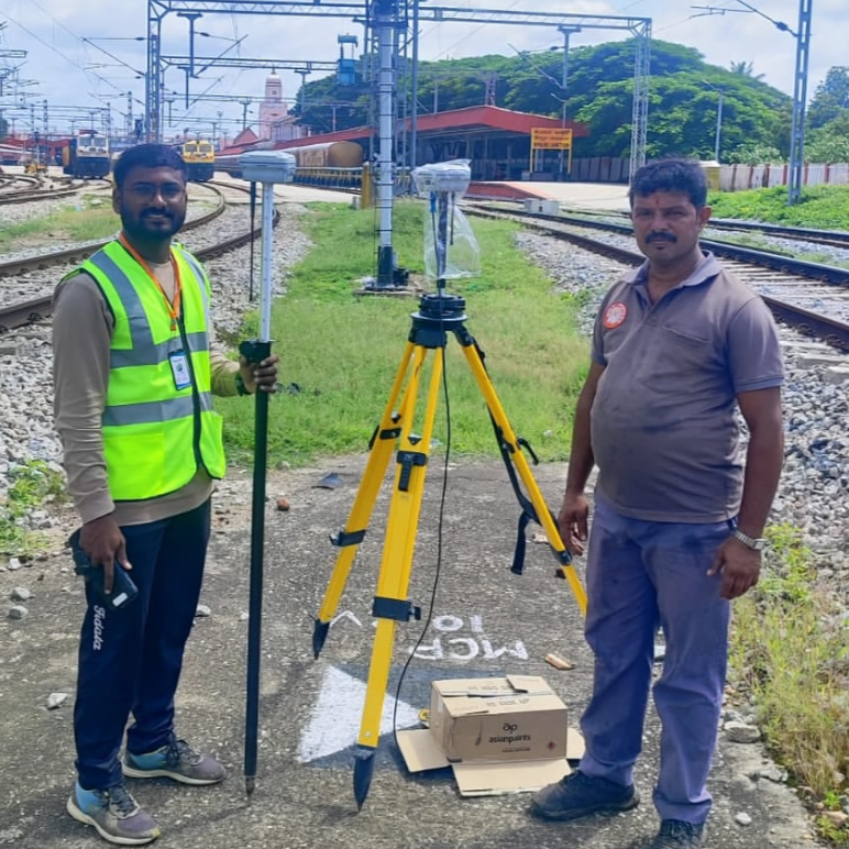
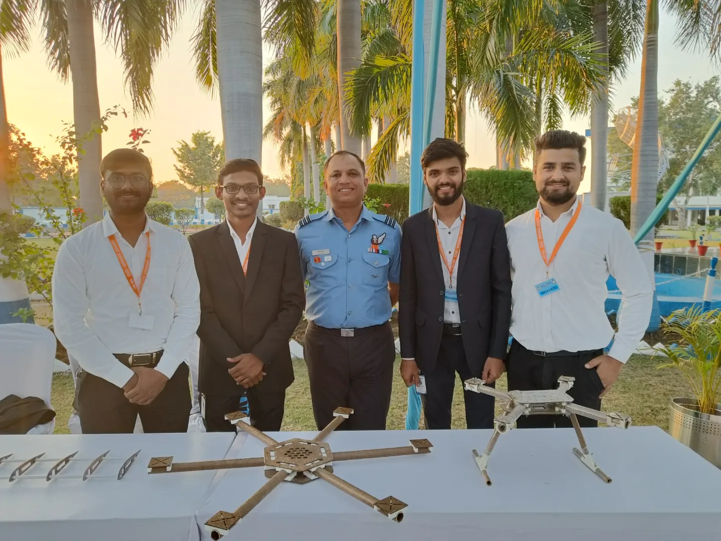
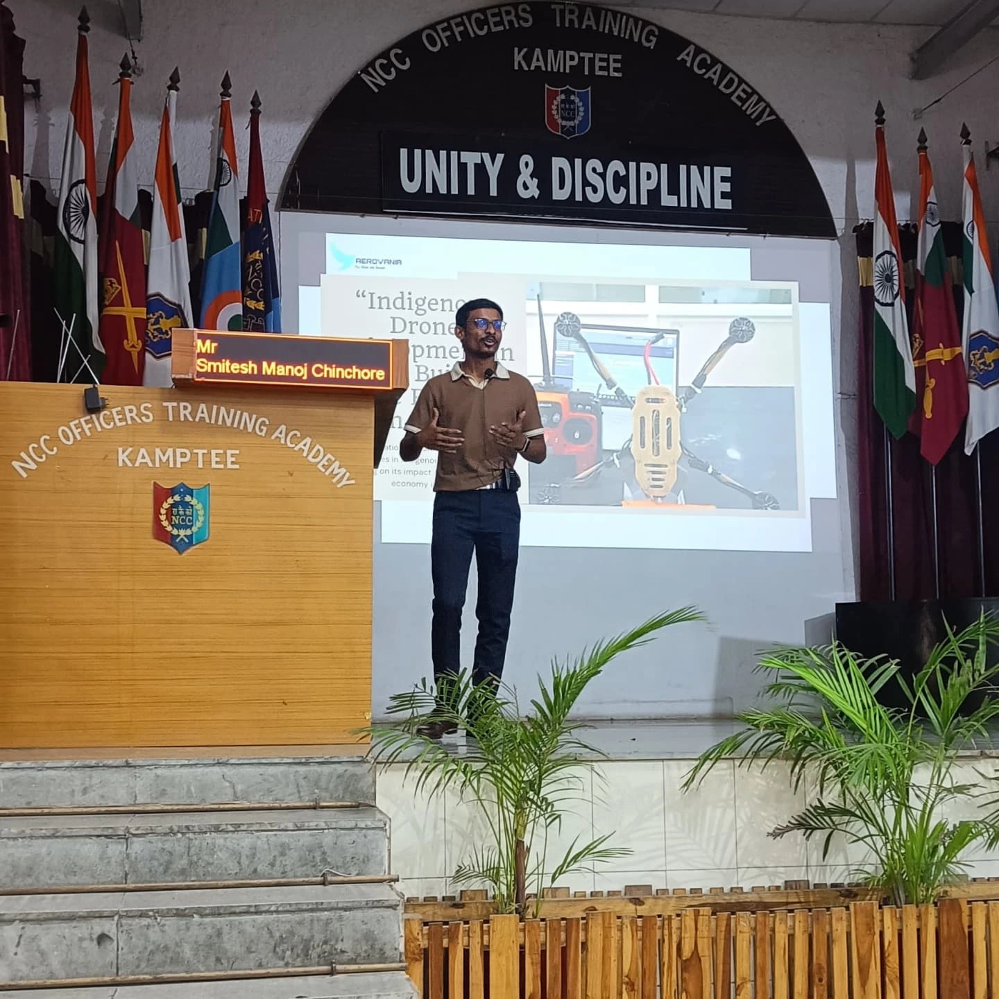
Aerovania is an aerial intelligence company headquartered in Nagpur, Maharashtra. We design, build, and deploy end-to-end drone intelligence systems for India's most demanding industries.

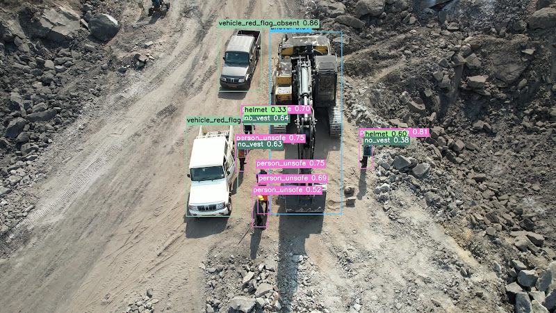
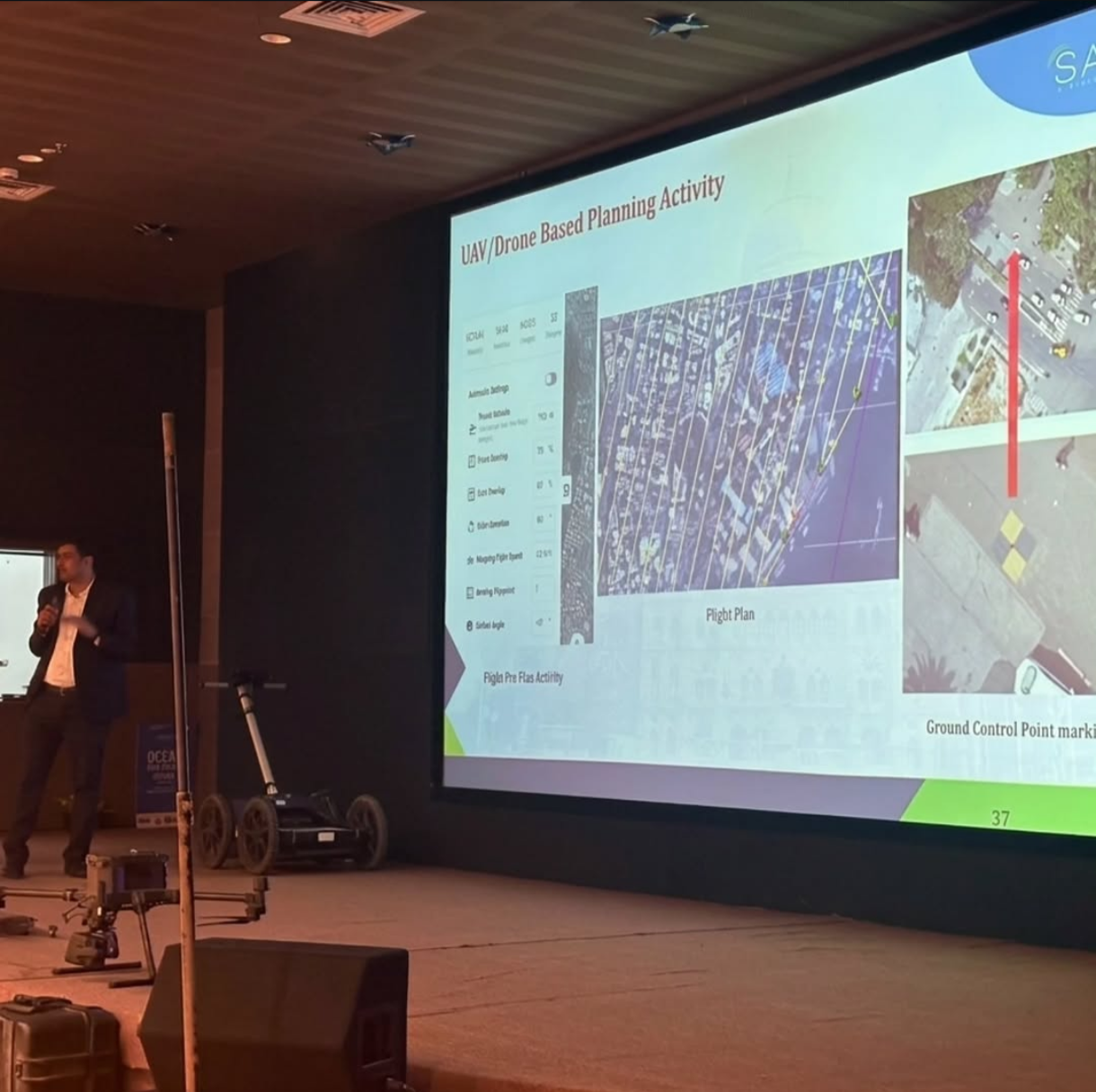
From open-cast mines to national highways, railway corridors to defence perimeters our platforms combine purpose-built UAVs, multi-sensor payloads, and AI analytics into a single, field-proven solution.

  • Purpose-built drone platforms for industrial-grade data acquisition
  • AI-powered analytics delivering actionable intelligence, not just data
  • End-to-end ownership hardware, software, and services under one roof
  • Headquartered in Nagpur, serving clients across India and beyond
Our Values

What Drives Us

Every decision we make from hardware design to client delivery is guided by these core principles.

Precision First

We engineer for accuracy at every layer from sensor calibration to AI model validation. 2cm is not a target, it's a baseline.

Field-Proven Reliability

Every system we deploy is tested in real operating conditions not just labs. If it can't survive the field, it doesn't leave our facility.

Intelligence Over Data

We don't deliver raw data we deliver verified intelligence. Our clients get answers, not files to interpret.

Client Partnership

We work alongside our clients from scoping to deployment. Long-term relationships, not one-off transactions.

Responsible Innovation

Technology must serve people and planet. Every system we build considers its environmental and social footprint.

Built to Scale

From a single survey to a national monitoring network our architecture scales without compromise on quality or accuracy.

Our Journey

How We Got Here

From a small team of engineers with a shared conviction that aerial intelligence could transform India's infrastructure industries to a full-stack drone intelligence company.

01

Founded in Nagpur

Aerovania was founded with a clear mission: build aerial intelligence systems that actually work in India's demanding field conditions.

02

First Industrial Deployments

Early deployments in mining and highway surveying validated our approach precision data, delivered faster and safer than traditional methods.

03

AI Platform Development

We built our own AI analytics stack trained on domain-specific aerial datasets to move beyond data collection into true intelligence delivery.

04

Multi-Industry Expansion

Today we serve defence, railways, power, oil & gas, smart cities, and environmental sectors with a unified platform and dedicated industry teams.

LiDAR Terrain
AI Monitoring
Analytics
AI Dashboard
Geospatial
By the Numbers

Aerovania at a Glance

8+
Industries Served
2cm
Survey Accuracy
100%
Offline Capable
24/7
Monitoring Uptime
IP68
Hardware Rating

Our Work in the Field

Gallery

Drone Survey
Drone Survey Operations
LiDAR Terrain
LiDAR Terrain Mapping
AI Monitoring
AI Monitoring Dashboard
Analytics
Analytics & Reporting
AI Dashboard
Geospatial Intelligence
Security
Security & Access Control
Security
Security & Access Control
Security
Security & Access Control
Security
Security & Access Control
Security
Security & Access Control
Security
Security & Access Control
Security
Security & Access Control

What We've Built

Key Achievements

500+
km of Railway Corridor Surveyed
LiDAR-based corridor mapping for Indian Railways zonal divisions with ±5mm accuracy.
1,100+
Sites Secured with AI Monitoring
Deployed AI-powered surveillance and compliance monitoring across mines, highways, and defence sites.
25+
States Covered Pan-India
From Himalayan corridors to coastal belts � operational presence across India's most challenging terrains.
120+
AI Models Deployed in Production
Computer vision models for PPE detection, structural defects, intrusion, and vegetation encroachment.
500M+
Sq Ft Area Scanned Annually
High-resolution aerial surveys processed and delivered to government and enterprise clients every year.
0
Safety Incidents on Record
ISO-certified operations with a perfect safety record maintained across every project delivered to date.

Recognised & Accredited

Certifications & Accreditations

DPIIT Recognised
Dept. for Promotion of Industry & Internal Trade, Govt. of India
ISO Certified
ISO 9001:2015 Quality Management System certified operations
NHAI Empanelled
Approved vendor for National Highways Authority of India survey projects
Startup India
Recognised under the Startup India initiative by the Government of India
DGCA Licensed Pilots
All drone operations conducted by DGCA-certified Remote Pilot Licence holders
Indian Railways Approved
Empanelled vendor for LiDAR survey and corridor mapping with zonal railways
Coal India Empanelled
Approved for volumetric surveys and AI monitoring at WCL & CCL mine sites
Survey of India Partner
Recognised partner for national-scale geospatial mapping and survey operations

Work With Aerovania

Whether you're looking for a survey partner, a technology platform, or a long-term intelligence solution let's talk about what we can build together.

Contact Us Join Our Team
Aerovania
Contact Us